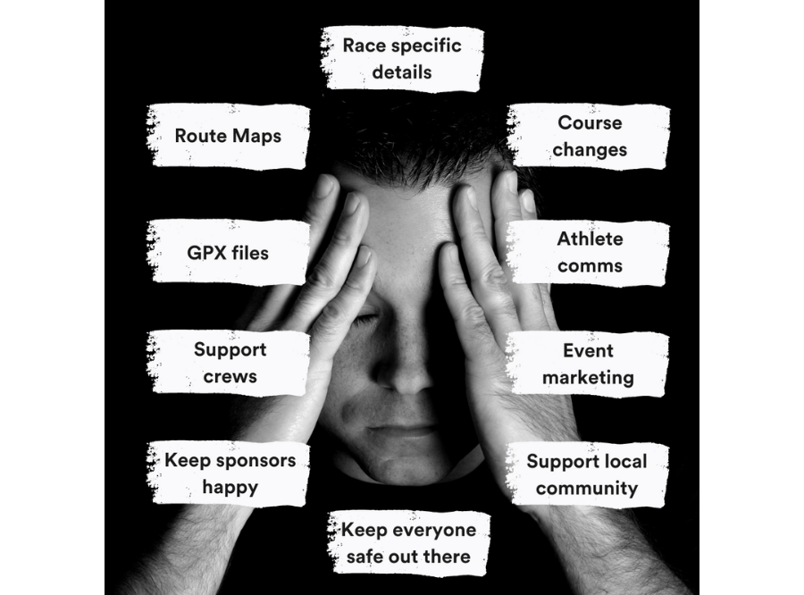
Events: so much to juggle
Event teams have traditionally had to use five or more different information formats or apps to share instructions. Here's how we can help before, during and after the event.
Trusted by teams that deliver iconic trail events
Before race day 😰
How many of the following pre-event benefits could you take advantage of?
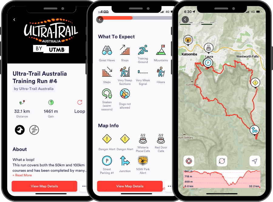
Pre race on-course training
Local participants may want to tackle parts of the race day routes to maximise their preparation. Use Capra to host suggested training routes that avoid any private land that is only used on race day. Race day routes are hidden until the time is right to activate them in your collection.
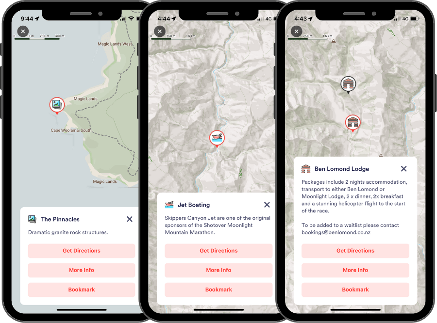
Community spotlights for visitors
Showcase local businesses that people visiting the area before race weekend should visit and support. This maximises the value your event can bring to the community beyond event weekend. It also demonstrates to potential smaller sponsors how you can bring them more customers.
Stakeholder engagement
Working closely with government bodies, national and state parks or local business? The flexibility of the Capra platform provides a clear way to demonstrate how you will be directing visitor behaviour to minimise negative impact and bring value to the area.
Family activity suggestions
Get whole families excited about things they can do beyond watching the races. Your event is probably in beautiful location that has so much to explore and enjoy. Capra maps can make discovering this information easy with links to websites for more information.
Recommended accomodation
Working with particular accomodation partners? Use Capra collections to get this information in front of participants well before event time so you can maximise the bookings they can receive.
Event weekend 😵💫
Instructions, safety and the ability to change information quickly are key for effective event weekend comms. Here are some areas we can help:
Race day maps
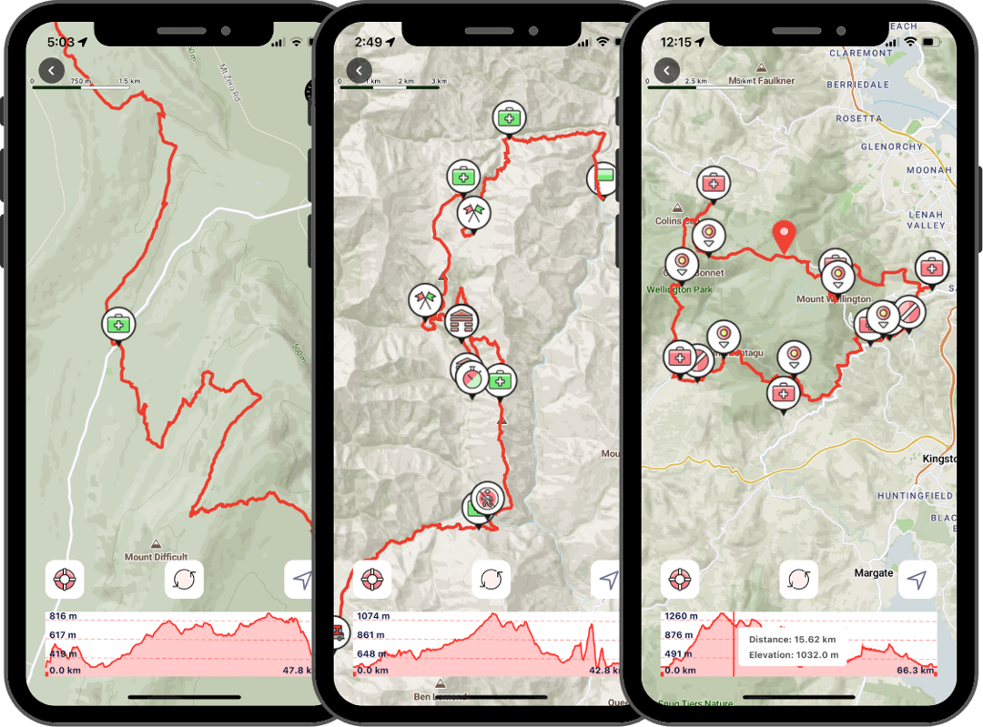
Full race routes or relay leg sections mapped for pre-race planning. Can include all the necessary map pin info such as aid stations, marshalls, cut off points.
Mandatory gear maps
Capra is a great addition to mandatory gear lists. Maps scrutinised for accuracy by race directors combined with offline capabilities and emergency lat/long details is a no brainer addition alongside printed maps for longer more remote events.
Course changes ⚡️
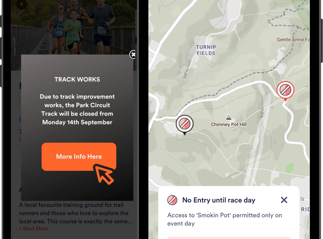
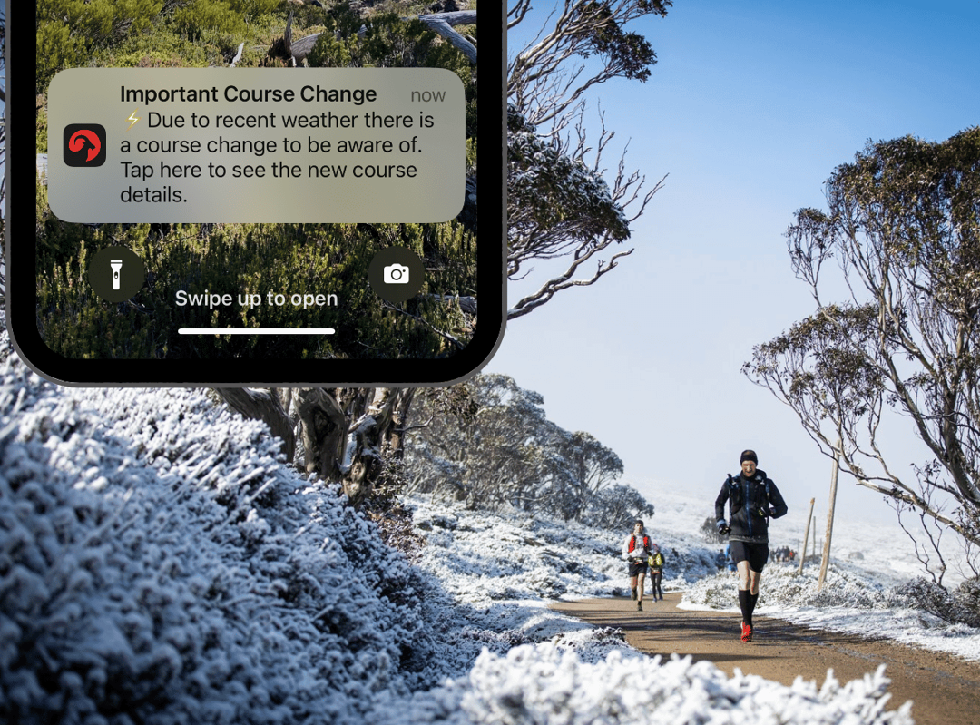
If the weather gods strike you've got Capra to back you up in two key ways. Firstly, new routes can be loaded and become immediately available for competitors. App users simply tap the refresh button on the map screen to make sure they're looking at the latest version.
Secondly, you can have contingency routes loaded but hidden in the collection which at the flick of a switch become the new routes. Messages (in beta) can then be sent to inform participants to check out the new info.
Event activity communication
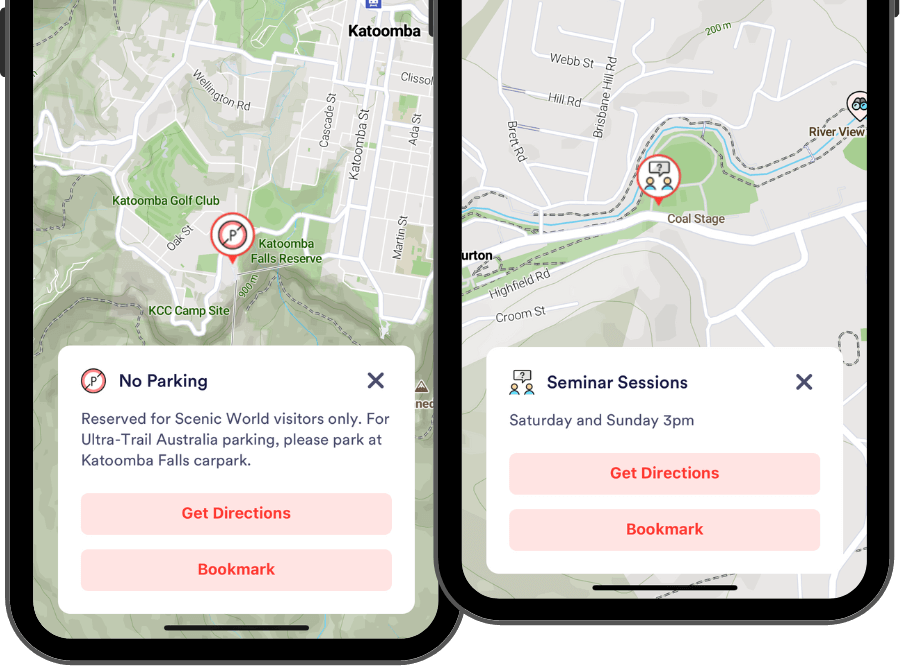
Let people know when things are happening at the event hub such as check-in opens, delayed race starts, athlete interviews, seminar sessions.
Protect the local sensitive areas
Highlight things that annoy the locals such as parking in particular areas or using certain paths to get to the event hub. Give helpful instructions to alternative options.
Volunteer & spectator instructions
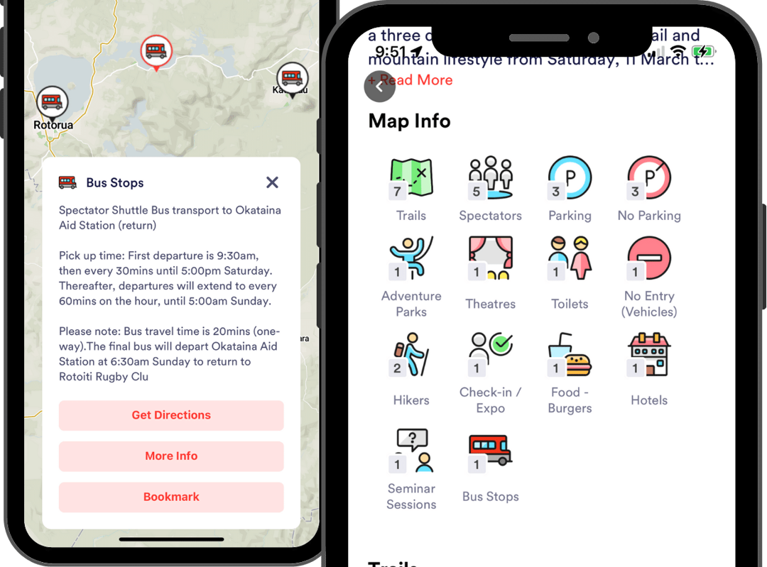
Capra makes it easy to show on the map exactly where people need to be. Our offline capabilities and detailed maps help marshalls and aid station volunteers navigate their way easily to their allocated spot. Spectators can make their way to pinpointed ideal spots to watch competitors come past.
Transport & logistics info
Pinpoint crucial transport info such as bus stops, enabling participants to bookmark that spot for quick access. For more remote access roads where Google maps makes mistakes you can map intended access routes and make them available in the app.
After the event 🤔
When the trail dust settles, Capra analytics can shed light on what people were using in Capra and add value to stakeholder reports for future event plans.
Content analytics
Real-time analytics dashboards are shared with event teams so they can see what is happening over time and collate data for post event reviews.
Stakeholder reporting
Capra is a robust addition to reports to stakeholders, providing evidence and data on how participants were managed and how the local community was celebrated and involved.
